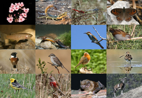
DNA barcoding being used for specimen identification

TEHRAN – For the first time in the country, DNA barcoding is being used to prepare genetic maps of endangered animal and plant species, an official from the Department of Environment has said.
In this regard, the map has been prepared for brown bear and deer species, IRNA quoted Mohammad-Reza Ashrafzadeh as saying. The plan is to be continued for a number of other important and threatened species of the country, he added.
DNA barcoding is a method of specimen identification using short, standardized segments of DNA. Every species has its own barcode, just as every person has their own fingerprint. These DNA barcodes can be compared to a reference library to provide an ID.
Also, the preparation of genetic maps and DNA barcoding of other species, including reptiles, amphibians, bats, rodents, and birds of Iran, is on the agenda, Ashrafzadeh said.
While the technologies used for DNA barcoding research have continued to grow and evolve, the basic process remains unchanged.
DNA barcoding is used for more than just research – it can also help address problems with broad impacts on all areas in which society interacts with biodiversity. Some practical applications include pest and disease control, food production and safety, resource management, biodiversity conservation, and education.
There are 11 types of ecosystems in the world, 9 of which are identified in Iran. Moreover, out of 42 types of wetlands, 41 types exist in the country. Therefore, Iran is one of the 20 countries rich in biodiversity and genetics.
Biological and genetic diversity in the country has caused many plants and animals to be native to Iran, currently, there are 2,100 endemic plant species in Iran.
Five ecoregions, rich biodiversity
Each region is defined by its characteristics that play a significant role in a land's biodiversity and richness, based on which, Iran shares five ecological zones with specific flora from the lowest to the highest parts, namely, Caspian, Iran-Turani, Arasbaran, Zagros, and Persian Gulf-Omani ecological zones.
The great difference between the two latitudes of the north and south of the country and the existence of different plains, altitudes, and climates have given a very diverse view of the vast land so that a variety of vegetation and plant species are grown across it.
The Hyrcanian ecological zone covers the green belt, the southern margin of the Caspian Sea, and the northern profile of the Alborz Mountain range. The forested areas of the region stretch to 2.4 million hectares covering Astara in Gilan province to Glidaghi in Golestan province.
The area of forests in the Iran-Turani ecological region, which covers most of the central plateau of Iran, is 4,666,941 hectares. Based on topographic and altitude conditions, this region is divided into two mountainous regions with a cold climate and a desert with a hot and dry climate.
Arasbaran forests, which are among the semi-humid forests of the country, are located in the province of East Azarbaijan and northwest of Ardebil province, which covers 174,838 hectares.
Some sources date the Zagros oak forests to 5,500 years. The creation and expansion of these forests are due to rainfall raised by the Mediterranean system and the Black Sea, which extends from the Sardasht area of West Azarbaijan to Firoozabad city of Fars province covering an area of 5,440,494 hectares.
The forests of the Persian Gulf-Omani ecological region include part of the southwest and all southern coasts, covering 2,039,963 hectares. Due to ecological differences, the main vegetation is divided into two territories, namely the Persian Gulf and the Sea of Oman.
MG
Leave a Comment